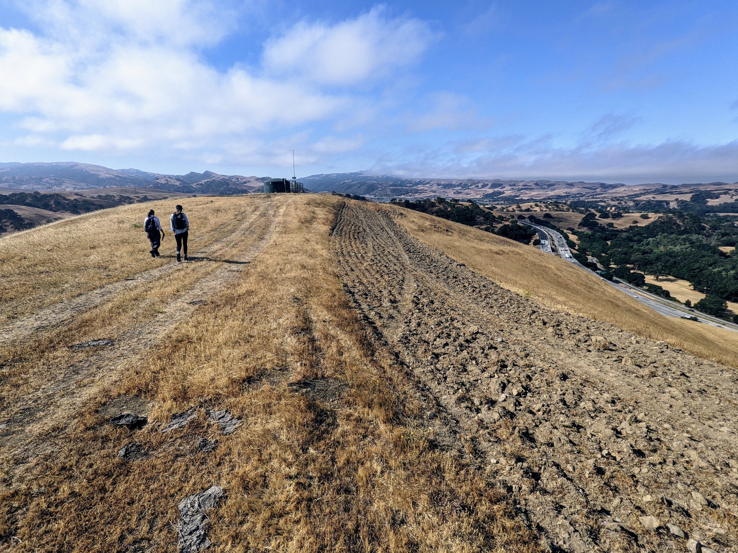
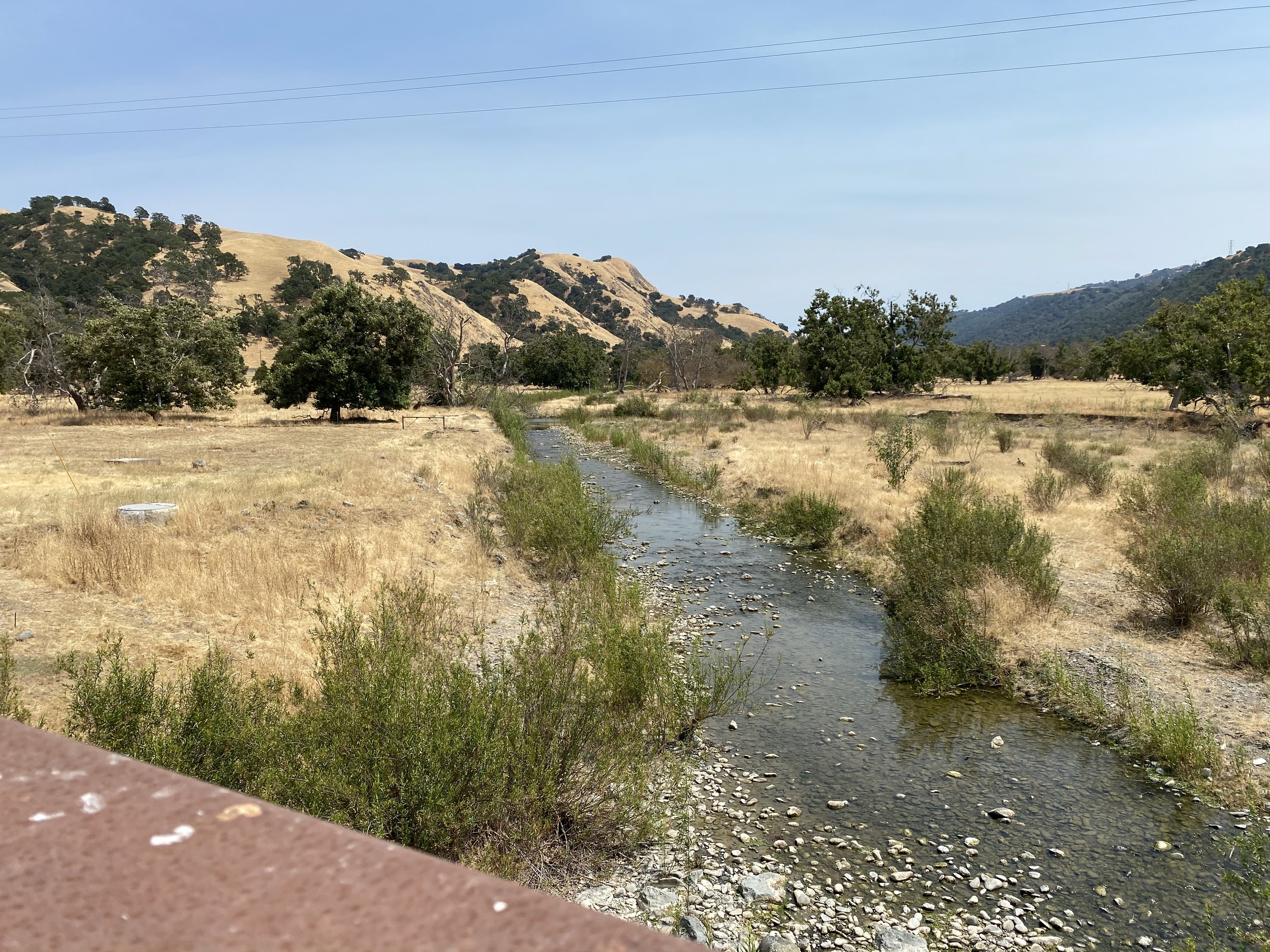
The San Francisco Public Utilities Commission (SFPUC) Alameda and Peninsula Watersheds consist of a combined 53,000 acres of diverse and unique habitats ranging from oak woodlands and coniferous forests, to serpentine grasslands, to a variety of uses including grazing, plant nurseries, and quarry operations. Much of these expanses is remote and difficult to access, complicating the management of infrastructure assets, water resources, and native plant and animal life.
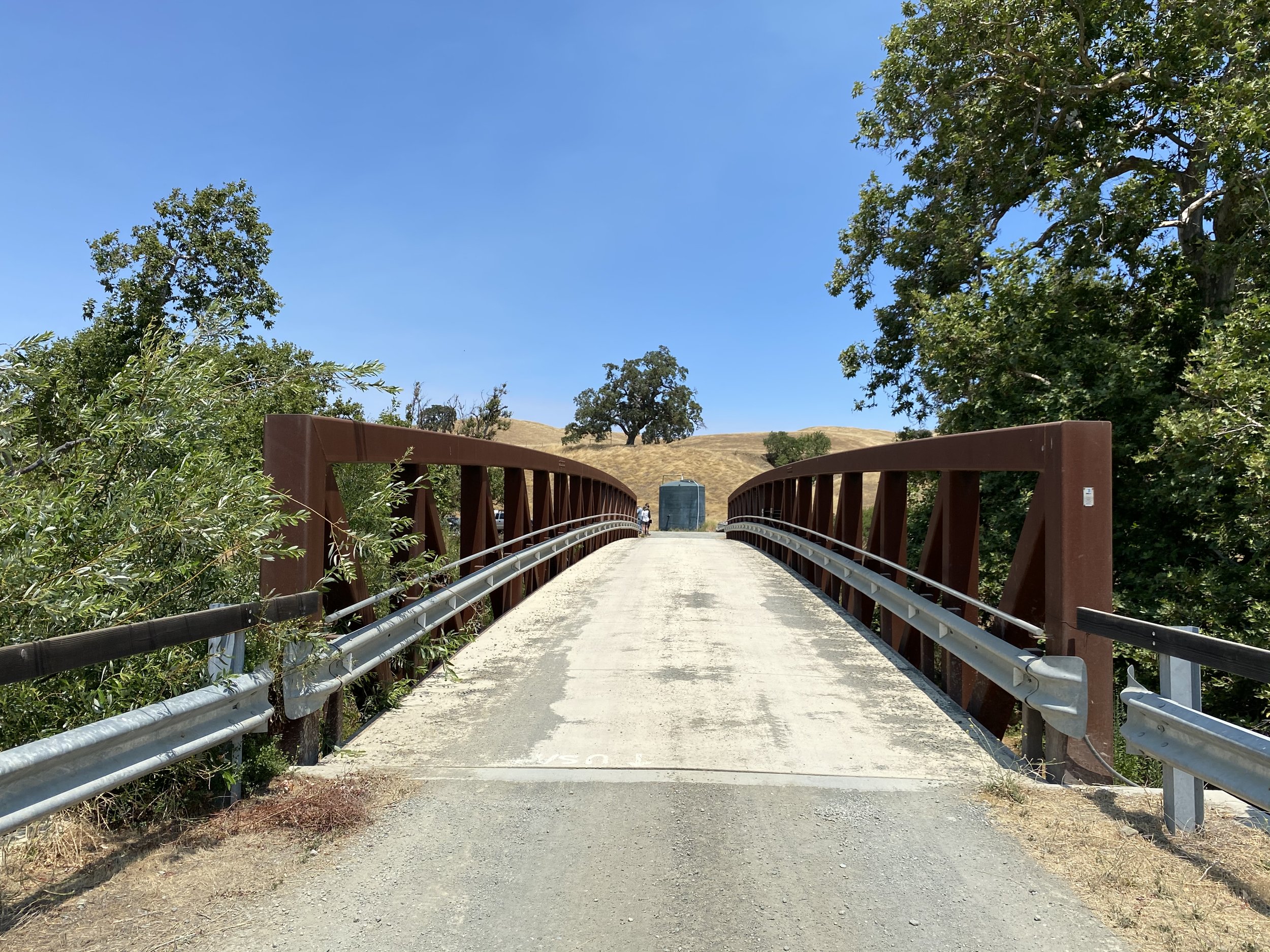
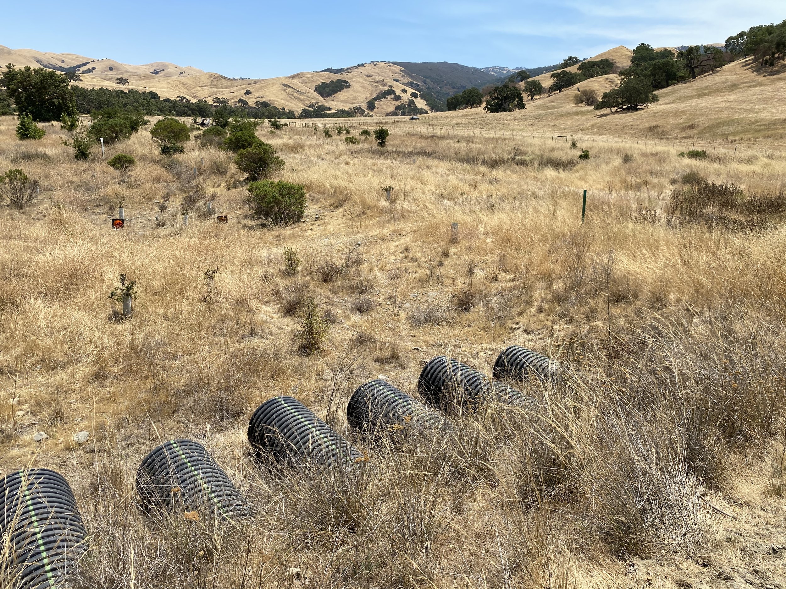
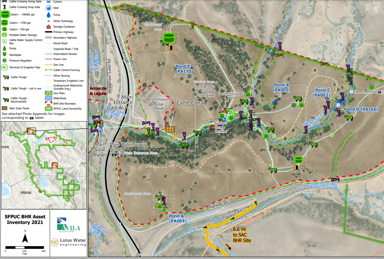
Over the course of numerous site visits and hours of fieldwork, Lotus collected field data and created maps to establish an inventory of Bioregional Habitat Restoration (BHR) conservation easement assets for the SFPUC in coordination with the Land Trust as part of long-term management of the BHR sites throughout Alameda and San Mateo Counties. In collaboration with asset management, biological resources, and GIS specialists, Lotus created a feature-rich geospatial database of over 350 unique site assets, including 230 assets which had not been previously mapped.
Granular asset data was collected real-time in the field using ESRI’s Collector app, including photographs, measurements, condition analysis, maintenance recommendations, and precise physical location. Asset maps were created both digitally (as interactive, zoomable web maps and full attribute table availability on-click) and statically (as carefully crafted PDF maps with illustrative labeling and symbology), supporting GIS layers such as utilities and boundaries, and detailed annotations. Additionally, Lotus worked closely with Avila & Associates to provide biological support services with on-site habitat and species surveys, and wildlife and plant monitoring and management support to ensure that the BHR assets and easements met regulatory compliance for resource protection.
The Lotus team embraced the opportunity to use the power of technology to help enhance ongoing and future BHR work and looks forward to expanding our web-based tools on other asset management projects!


